

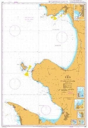
Standard Navigation, 13 Long Island Sound
$38.99
Price when purchased online
Free shipping
Free 30-day returns
Sold and shipped by salutcle.com
We aim to show you accurate product information. Manufacturers, suppliers and others provide what you see here.
$38.99
Price when purchased online
Free shipping
Free 30-day returns
Sold and shipped by salutcle.com
Free 30-day returns Details
Product details
| Management number | 228134086 | Release Date | 2026/05/31 | List Price | $15.60 | Model Number | 228134086 | ||
|---|---|---|---|---|---|---|---|---|---|
| Category | |||||||||
Starting at the Throgs Neck Bridge, coverage includes all of Long Island Sound to New London, CT. Includes Gardiners Bay and Peconic Bay, as well as Gardiners Island. 28 GPS Waypoints are plotted directly on the chart. Also includes detail of Captain Harbor in Greenwich, CT. Large place names make cities and towns easy to find. Information from 3 NOAA Charts: #12363, #12354 and #12364. Chart is 25" X 38". WGS84 - World Mercator Datum.
- Two Sided
- Foldable
- Tear Resistant Synthetic Paper (Hop-Syn) 5 PP Tree Friendly Two Sided Foldable
| UPC | 740399001300 |
|---|---|
| ASIN | B00144ABG4 |
| Color | full color |
| Map Type | Navigational |
| Brand Name | Waterproof Charts |
| Paper Size | 25 x 38 inches |
| Part Number | 13 |
| Manufacturer | Waterproof Charts |
| Paper Finish | Smooth |
| Item Dimensions L x W | 25"L x 38"W |

Bestseller ranking
Sinks


Customers who viewed this product also viewed
Charts & Maps


Correction of product information
If you notice any omissions or errors in the product information on this page, please use the correction request form below.
Correction Request Form